MapQuest Surveillance Layer
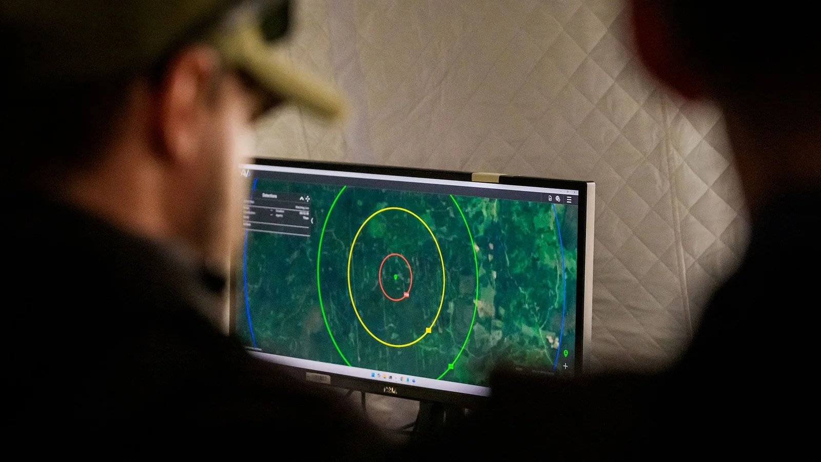
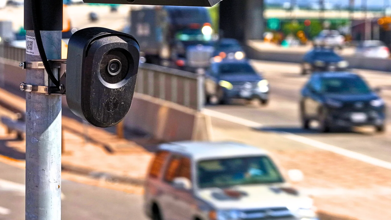
MapQuest has released an app update that introduces a new Surveillance Layer. The company announced that the feature maps the locations of known automated license plate readers, covering devices from manufacturers such as Flock, Motorola Solutions, Genetec, Axis Communications, Axon, and other brands.
The feature allows users to toggle the Surveillance Layer within map options to view outdoor surveillance hardware deployed across various regions.
Data Source and Capabilities
While the origin of the complete dataset remains unclear, the mapping tool shares similarities with independent security projects. Alongside camera coordinates, the tool indicates the directional orientation of each reader, enabling motorists to identify and potentially route around automated license plate recognition hardware.
Privacy and Security Concerns
While municipal authorities and law enforcement agencies argue that automated license plate readers assist in tracking suspects and improving public safety, critics frequently raise privacy concerns. Issues stem from administrative errors and alleged misuse, leading some local jurisdictions to reconsider their deployments.
Public scrutiny has extended to citizen-built tracking projects and debates over unwarranted cross-jurisdictional vehicle tracking. Previous mapping features by navigation applications that highlight law enforcement presence have historically drawn mixed reactions from police departments.
The MapQuest update offers an option for users looking to avoid known reader placements, though heavily monitored urban zones may still present unavoidable coverage.