Undersea Mapping Operations
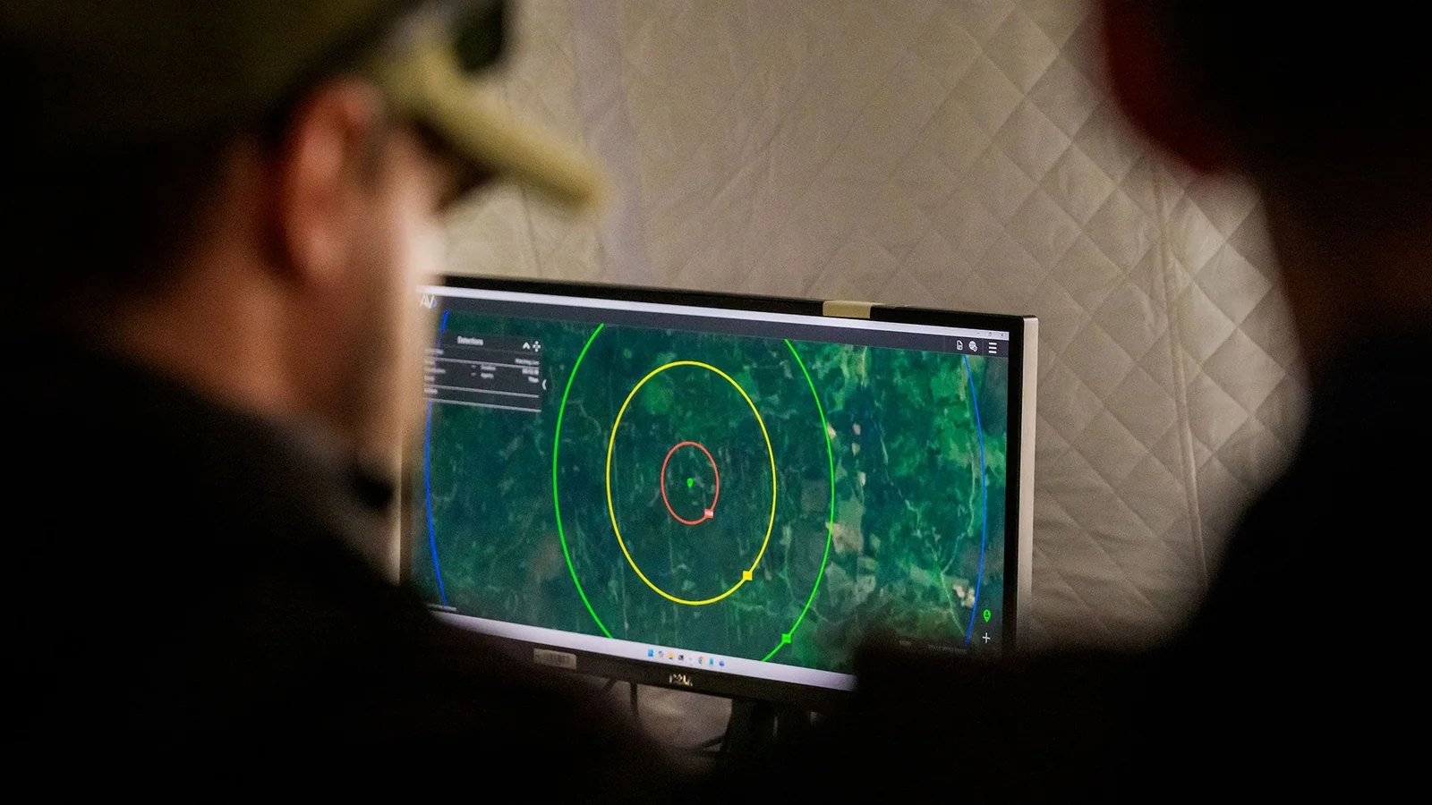
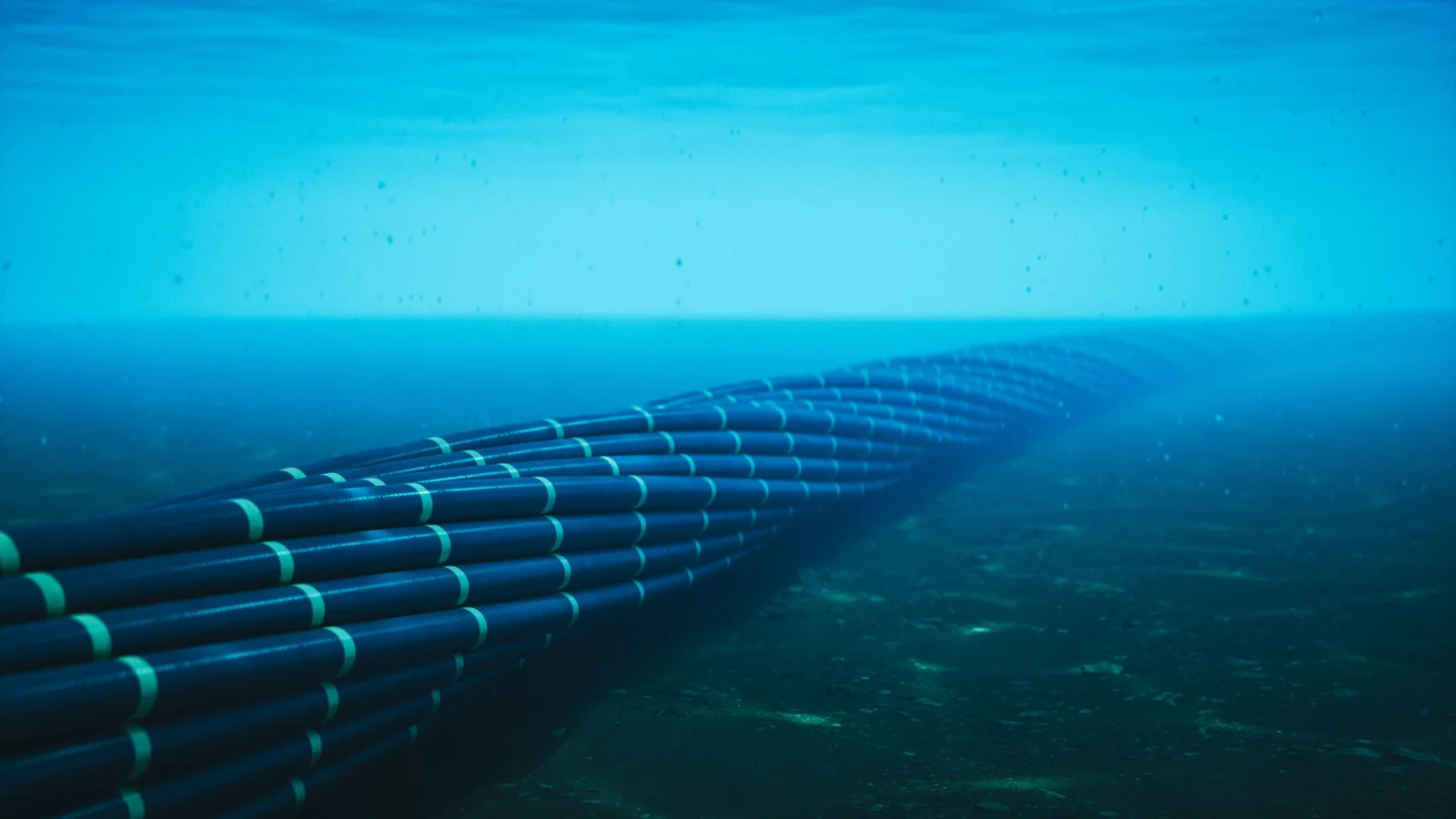
Moscow is apparently using commercial fishing trawlers to map undersea cables connecting the U.S. and Europe. According to reporting, over 500 incidents have been uncovered where Russian fishing boats loitered above critical communications cables over a span of four and a half years. Data sourced from Global Fishing Watch uses satellite tracking to monitor vessels over the open ocean, which are then cross-referenced with nautical charts marking undersea cable routes.
While general cable locations appear on nautical charts for avoidance, detailed infrastructure positioning requires accurate data. Reports highlighted instances where Russian trawlers tracked multiple critical Atlantic lines, including the Atlantic Crossing 1 telecommunications cable, the decommissioned TAT-14 cable, the Hibernia Express cable, the Shefa-2 cable, and the Amitie and Grace Hopper cables linking the UK, France, and Spain to the U.S.
Surveillance Techniques and Equipment
These vessels have slowed significantly during transit, dropping to speeds between two and three knots. Naval officials note that the ships involved are large enough to house uncrewed surface vehicles or remotely operated vehicles capable of deploying tethered units at low speeds to map features with high precision. NATO representatives have acknowledged tracking these civilian fishing vessels operating without normal commercial fishing activity.
Strategic Infrastructure Vulnerability
Undersea cables serve as backbone infrastructure supporting massive global economic activity. These assets represent potential primary targets in geopolitical conflicts as part of gray-zone warfare strategies, where commercial vessel actions cannot be directly traced back to state actors.
Global Infrastructure Incidents
Numerous disruptions to undersea cables have occurred globally in recent years. Incidents include severed connections between Finland, Germany, and Estonia, alongside damaged infrastructure in the Pacific involving Taiwan, Australia, New Zealand, Indonesia, and Singapore, as well as threats in the Strait of Hormuz.
Protecting extensive undersea infrastructure remains challenging due to the vast distances involved and their location in international waters, where vessels maintain freedom of navigation and suspicious operations rarely provide legal grounds for boarding or detention.