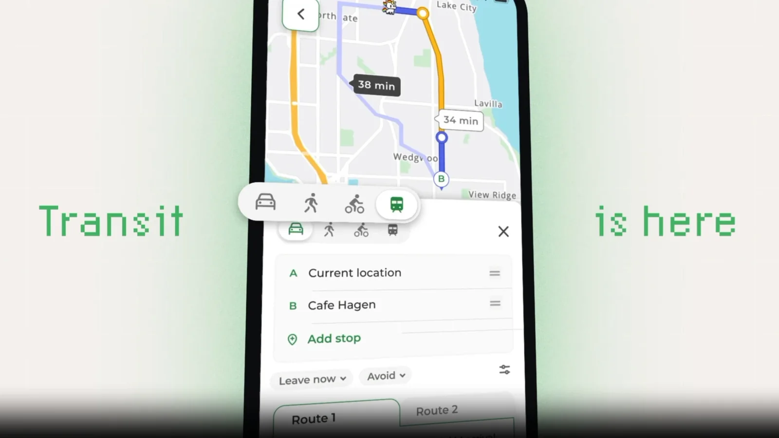
MapQuest Finally Adds Public Transit Directions
The long-running mapping platform is modernizing its feature set to include public transportation routing.
MapQuest has rolled out public transit directions in its mobile apps for iOS and Android, with a web release planned for the near future. The update brings the legacy mapping service closer to parity with modern alternatives.
Coverage and Features
At launch, the transit feature supports nearly 2,000 cities across 70 countries. Users gain access to door-to-door trip planning that combines buses, trains, trams, and walking segments. It also provides real-time departure and delay updates for more than 350 cities, alongside details regarding station entrances and multiple routing options.
The feature rollout follows a recent surge in popularity that drove the app up mobile store charts. Developers noted that returning users in urban areas requested transit integration to make the platform a viable daily navigation tool. Further updates, including live turn-by-turn guidance and expanded geographic coverage, are currently in development.
In addition to transit routing, developers have been working on other modern additions like Android Auto support. While long overdue, the inclusion of public transportation data marks a significant milestone for the 30-year-old service.